
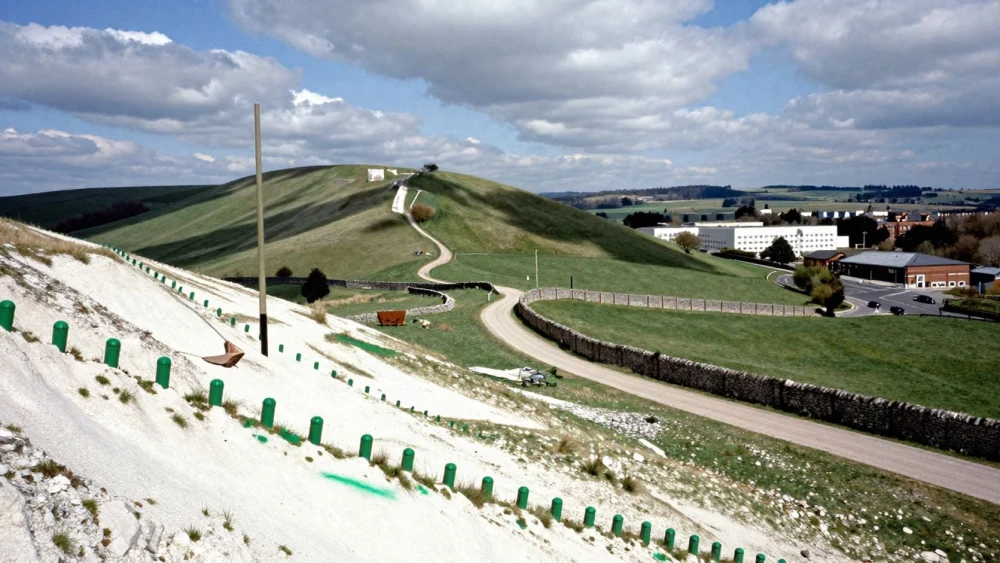
Topographical Surveys
Get in TouchAt Swindon Surveys, we offer comprehensive topographical surveys . These surveys provide a detailed representation of the terrain, capturing both natural and man-made features.
Our experienced team uses advanced equipment to measure elevation changes, structures, and landmark positions. We cater to a wide range of projects including construction, landscaping, and urban planning.
Contact us today to schedule your topographical survey.
Book Topographical Surveys Today
How Much Does a Topographical Survey Cost?
A typical topographical survey costs between £500 and £1,500, depending on the size and complexity of the site. The cost is influenced by factors such as terrain complexity, site accessibility, and the level of detail required.
We often use laser scanning and GNSS (Global Navigation Satellite System) technology to capture accurate geospatial data. Projects that require detailed surveys of underground utilities, such as electric cables and drainage systems, may incur additional costs.
The presence of difficult-to-access areas may also affect the price, as specialised equipment like drones or aerial photogrammetry might be necessary. Large or heavily vegetated areas can further increase the price.
We adhere to RICS (Royal Institution of Chartered Surveyors) standards for accuracy and precision. Contact us for a more precise quote tailored to your specific project needs.
What Equipment Do We Use for Topographical Surveys?
At Swindon Surveys, we use an array of equipment to ensure precision in every topographical survey. Our tools include total stations, GPS units, and 3D laser scanners.
Total stations are vital for measuring angles and distances with accuracy, while GPS units provide geospatial positioning necessary for mapping large areas. The 3D laser scanners capture point cloud data that translates into highly detailed visual models of the landscape.
In addition to these, we employ levelling instruments to determine precise elevations and unmanned aerial vehicles (UAVs) for aerial imagery in hard-to-reach or expansive sites. Each device captures high-resolution data, enabling us to produce accurate digital maps compliant with industry standards such as RICS and ISO 19650.
This technology helps in delivering detailed elevations, contours, and features essential for effective planning and development, supporting architects, engineers, and planners in their projects.
How Are Topographical Surveys Conducted?
Our topographical surveys follow a systematic process to guarantee accuracy:
Site visit and initial assessment. During this stage, we conduct a thorough review of the site to identify potential obstacles or unique features.
Setup of surveying equipment at strategic points. We employ Total Stations and GPS systems, carefully positioning them to ensure full coverage.
Capturing data points across the survey area. Using laser scanners and digital levels, we precisely measure and record various land features such as terrain elevations, boundaries, and existing structures.
Processing the collected data into comprehensive maps and models. This includes creating detailed digital terrain models (DTMs) and contour maps that adhere to RICS standards.
Delivering final results to the client with detailed annotations. We provide both electronic and hard copy formats, ensuring easy integration into your planning and construction phases.
Our knowledgeable team ensures that every survey is conducted promptly and meets industry standards. Get in touch to discuss your specific survey requirements.
What Are the Benefits of Topographical Surveys?
Topographical surveys offer numerous benefits for various projects . These surveys play a crucial role in landscape architecture by detailing terrain contours, elevations, and man-made features using equipment like total stations and GPS receivers.
Accurate Planning: Facilitates efficient design and layout by providing precise measurements that assist engineers and architects in creating detailed plans.
Risk Mitigation: Identifies potential land issues early, such as flood zones or unstable soil types, helping avoid costly project delays.
Regulatory Compliance: Ensures projects meet legal requirements by mapping out protected areas and other environmental considerations in line with local and national standards.
Informative Mapping: Provides clear visualisation of the area, supporting decision-making with comprehensive data sets that include utilities, vegetation, and existing structures.
Contact us to learn how our surveys can benefit your project.
Why Choose Swindon Surveys for Topographical Surveys?
Choosing Swindon Surveys means opting for quality, accuracy, and reliability. Our team is skilled in using the latest technology, such as GPS, robotic total stations, and laser scanners, to deliver precise results.
We adhere to the RICS standards, which assures our clients that our surveys are conducted to the highest professional standards. We tailor our services to meet the specific needs of each project, whether it's for residential developments, commercial properties, or utility management, ensuring client satisfaction with detailed reports.
In addition to traditional methods, we incorporate drone surveys for aerial mapping, which enhances our data gathering capabilities, especially on large or complex sites. With our extensive experience, you can trust us to handle any surveying challenge with professionalism and expertise.
Contact us today to discuss how we can assist with your topographical survey needs.
Speak to a Topographical Surveys Expert
Frequently Asked Questions
How do I maintain the data from a topographical survey?
Once you receive the survey data, it's essential to store it securely and back it up regularly. Digital copies should be accessible to all relevant stakeholders involved in the project.
How long does a topographical survey take?
Typically, a topographical survey can take from one to three days, depending on the site size and complexity.
Is planning permission needed for a topographical survey?
No planning permission is required to conduct a topographical survey, making it a straightforward step in your project planning.
Can topographical surveys be used for environmental studies?
Yes, they provide crucial data for environmental impact assessments, helping to understand the land's condition and potential impacts.
What is the lead time for booking a topographical survey?
We recommend contacting us at least two weeks before the desired survey date to ensure availability.
Get a Free Quote for Topographical Surveys
Interested in a topographical survey? Get in touch with Swindon Surveys today to request your free quote.
Call us now to ensure the best results for your project.