
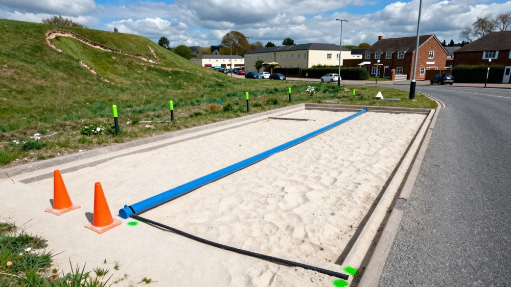
PAS 128 Utility Surveys
Get in TouchAt Swindon Surveys, we specialise in providing PAS 128 utility surveys to ensure accurate and reliable utility mapping. Our surveys use advanced technologies such as ground-penetrating radar and electromagnetic location to detect utilities with precision and compliance with PAS 128 standards.
This service solves complex mapping challenges for construction, infrastructure, and engineering projects. Call us today to discuss your project needs and secure a detailed survey.
How Much Does a PAS 128 Utility Survey Cost?
A PAS 128 utility survey typically costs between £750 and £2,500, depending on the site size and complexity. Factors influencing the price include the area to be surveyed, depth of utilities, and the presence of obstructions.
Equipment such as ground-penetrating radar (GPR) and electromagnetic locators is used to detect underground utilities, ensuring detailed and accurate mapping. Adherence to the PAS 128 specification ensures our surveys meet industry standards, providing clarity on utility positioning and reducing the risk of damage during excavation.
Timelines for completing a survey can vary but generally range from two to five days, depending on project scope and site conditions. We offer competitive pricing to ensure you receive comprehensive data.
Contact us for a detailed quote tailored to your project's requirements.
Book PAS 128 Utility Surveys Today
What Are the Types of PAS 128 Utility Surveys Available?
Different survey types are available under PAS 128, including:
Type D Survey: A desk study review using existing records. This type involves reviewing utility maps and plans, which can highlight potential utility risks without any on-site activity.
Type C Survey: Above-ground visual inspection to confirm records. This survey type includes on-site inspections to cross-verify the information in existing documentation against visible surface features.
Type B Survey: Using geophysical surveys such as electromagnetic detection. Techniques like ground penetrating radar (GPR) are commonly employed to locate subsurface utilities with more accuracy.
Type A Survey: Verification through excavation or intrusion. This involves physically uncovering utilities for exact positioning, often necessary when precise location confirmation is critical.
Each type offers varying levels of certainty and applicability based on project needs, from preliminary planning to detailed design. Speak with our team to determine the best option for your project.
How Long Does a PAS 128 Utility Survey Take?
Conducting a PAS 128 utility survey typically takes one to three days, depending on the site scale and survey type. Our efficient methodologies include the use of ground-penetrating radar (GPR) and electromagnetic location (EML) techniques, which help in accurately detecting underground utilities such as cables, pipes, and ducts.
In instances where the site covers a larger area or presents challenging conditions, such as congested or high-traffic zones, we might require additional time to ensure thoroughness.
Our experienced team follows the guidelines set by the British Standards Institute (BSI), ensuring that each survey adheres to the PAS 128 specifications. We also perform 3D model integration when necessary, allowing for comprehensive utility mapping.
For larger sites or complex conditions, we will provide a tailored timeline. Contact us to discuss your specific site requirements.
What Are the Benefits of PAS 128 Utility Surveys?
PAS 128 utility surveys offer numerous benefits by complying with industry standards such as the British Standards Institution (BSI) PAS 128 specification, which ensures a consistent and reliable approach to utility mapping.
This level of detail is vital for architects, engineers, and construction managers as it involves different detecting methods like electromagnetic location (EML) and ground-penetrating radar (GPR) for accurate detection of utilities.
Accurate Mapping: Compliant with industry standards for reliable data and uses equipment such as GPS locators to ensure precision within 15 to 30 centimetres.
Risk Reduction: Minimise the risk of damaging existing utilities by delivering data that can be immediately integrated into BIM (Building Information Modelling) systems.
Cost-Effective Planning: Prevents costly project delays and repairs by allowing for thorough pre-planning and coordination.
Enhanced Safety: Identifies utilities accurately for safer digging, reducing health and safety risks.
Choose Swindon Surveys for thorough and precise surveys .
Why Choose Swindon Surveys for PAS 128 Utility Surveys?
Swindon Surveys provides thorough PAS 128 utility surveys, using the latest technology such as electromagnetic locators and ground-penetrating radar. Our experienced team ensures compliance with PAS 128 specifications and delivers detailed mapping for various project sizes.
We adhere to strict standards, using equipment like radiodetection locators to precisely identify subsurface utilities, including water, gas, and electrical lines. By employing techniques such as multi-channel array scans and combining different data sources, we generate reliable utility maps with centimetre-level accuracy.
Our surveys support diverse sectors, from construction and civil engineering to property development, helping minimise risks and prevent costly utility strikes during excavations. Our dedication to quality and accuracy makes us the preferred choice for many industries.
Contact us today to discuss your project requirements.
Speak to a PAS 128 Utility Surveys Expert
Frequently Asked Questions
How is the data from a PAS 128 survey delivered?
We deliver data from PAS 128 surveys in reports that include CAD drawings and georeferenced maps, ensuring you have detailed and accessible information.
What level of accuracy can I expect from a PAS 128 utility survey?
PAS 128 surveys achieve accuracy levels depending on the type used, with Type A offering the highest accuracy through physical verification.
Can PAS 128 surveys be customised to specific project needs?
Yes, our surveys are customised to each project's specific requirements, ensuring you receive the most relevant and useful data.
Do you provide guidance on interpreting survey results?
Yes. We offer full support and guidance to help you understand the results and how they apply to your project.
Do you offer follow-up services after the survey?
Yes, we provide additional services such as ongoing consultancy and site support to assist with any further project requirements.
Get a Free Quote for PAS 128 Utility Surveys
For precise utility mapping and surveying services, contact Swindon Surveys today to ensure your project's success with our fully compliant PAS 128 utility surveys.